
Overview
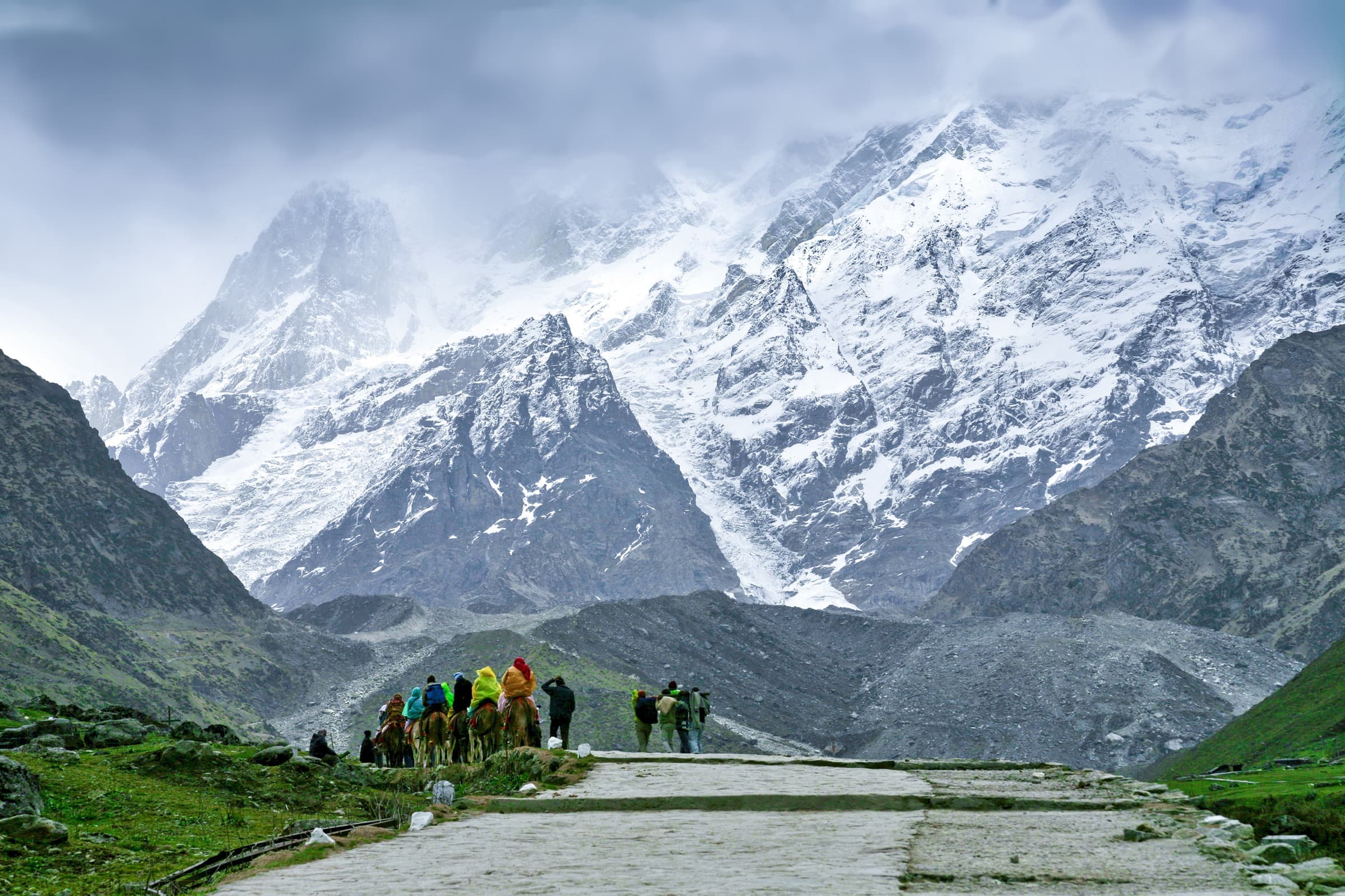
Are you ready to experience the majesty of the Himalayas? The Kedarkantha Trek is one of the most beautiful winter treks in Uttarakhand, and beginners, as well as professional trekkers, believe the trek has a height of 12,500 ft, which makes it a high-altitude adventure and is suitable for those who like to be surrounded by mountains and picturesque snow-capped mountains of Yamunotri, Gangotri, Black Peak, Bandarpoonch, and Swargarohini.
Why You'll Love This Trek
Trail Highlights
- Panoramic views of Swargarohini, Bandarpoonch & Black Peak
- Snow-covered campsites in winter
- Small temple atop Kedarkantha summit
- Dense rhododendron, oak & pine forests
- Beginner-friendly, high-altitude experience
- Available almost year-round (except monsoon)
What Makes This Trek Special
A high-altitude winter wonderland trek with snow-covered campsites, dense pine and rhododendron forests, and a summit that opens up to sweeping views of the Himalayan giants, all on a trail that's manageable even for first-time trekkers.
Read MoreRead Less
The Kedarkantha Trek lies inside the Govind Wildlife Sanctuary located in Uttarkashi, Uttarakhand, in the Western Garhwal region of the Himalayas. The base of this trek is the beautiful village of Sankri, surrounded by rivers and mountains clad with thick forests and snow. Nearby cities of importance are Dehradun, the nearest major city, and a transit town.
The Kedarkantha Trek is rated as an easy-moderate trek. At Cooltrails, a trek of this difficulty is categorized as easy-moderate under our treks classification for the following reasons:
-
Gradual Ascent: The path has a gradual and constant ascent.
-
Duration: The entire trek lasts 5-6 days.
-
Altitude: The maximum altitude is less than fourteen thousand feet.
-
Exit Points: The trek provides several easy exit points for the trekkers.
Kedarkantha meets all these criteria effectively. Towards the final day of the trek, you will be gaining from 5,500 feet to 6,000 feet within 3 days. This portion of the climb is slightly steep, but there are gradual steps interspersed, and these can be handled very safely with enough preparation.
Averages of 4 hours per day are generally the upper limits of trekking hours, except perhaps on the summit day when such a limit is always exceeded. The ultimate destination of this trek is at a height of 12,500 feet, making it accessible to newcomers or those who want to try a less strenuous climb.
One of the trek’s advantages is the availability of more than one route to reach the summit and, therefore, more exit points, enhancing safety, especially for trekkers.
What raises the trek to an easy-moderate level is ascending to the summit. This is relative for easy trekkers; the last and most important part is to get to the steep and far summit. It takes almost 7-8 hours of the day to trek to the summit, about 5 hours of steady climb, and a rapid downward motion as high as 2- 3 hours.
This requires a relatively high degree of physical fitness if one can do it comfortably. The Kedarkantha temple trek is ideal for travelers looking for some decent exertion with satisfaction at the end.
Route Map
Trailhead Weather
7-day forecastLive conditions at the trailhead. Plan around the forecast — mountain weather shifts fast.
Itinerary 6 Days
Day 1Drive from Dehradun to Gaichawan Gaon
The trek begins with a scenic drive from Dehradun through Mori and Purola to Gaichawan Gaon, known as the "Apple Valley" of the Mori district. A permit stop at the Naitwar Barrier requires a government-issued ID. The village is known for its traditional Kathkuni architecture and offers a comfortable homestay to acclimatize before the trek begins.
Day 2Trek from Gaichawan Gaon to Julota
A steady ascent from 5,600 ft to 8,950 ft through apple orchards, farmland, and the villages of Suchan Gaon and Dargar Gaon, followed by pine and oak forest. The trail levels out near a clearing with a wooden bridge before reaching the scenic Julota campsite.
Day 3Trek from Julota to Pukhrola
A short but steep climb from 8,950 ft to 10,800 ft through golden oak forest and clearings like Moru Ka Thatch. Pukhrola is a flat, grassy campsite surrounded by mountains, offering the first glimpse of the Kedarkantha summit.
Day 4Trek from Pukhrola to Akhoti Thach via Kedarkantha Summit
The trek's highlight, an early morning start and a steep climb to the 12,500 ft summit, with views of Chainsheel Pass, Rupin Valley, Har Ki Dun Valley, and peaks like Swargarohini, Bandarpoonch, and Kalanag. After descending back to Pukhrola for lunch, the trail continues to Akhoti Thach, a campsite surrounded by walnut trees.
Day 5Trek from Akhoti Thach to Gaichawan Gaon
A descent from 9,170 ft to 5,600 ft through quiet oak and rhododendron forest, passing shepherd huts and a small waterfall crossing, before reaching Gaichawan Gaon to complete the trekking circuit.
Day 6Drive Back from Gaichawan Gaon to Dehradun
The return journey mirrors the initial drive, dropping off at Dehradun by evening.
Best Time to Visit
Things to Carry
- Backpack with rain cover (50–60L) + day pack (20–30L)
- Trekking/walking pole
- Insulated water bottle or thermos (2L)
- Tiffin box, energy bars, dry fruits, ORS packets
- Quick-dry synthetic T-shirts and trekking pants
- Fleece T-shirts, wind-stopper/fleece jacket
- Down feather/hollow jacket
- Thermal innerwear (upper and lower)
- Waterproof gloves + fleece/woolen gloves
- Poncho/waterproof jacket and pants
- Head torch with extra batteries
- Woolen cap, balaclava, buff/neck gaiter
- UV-protected sunglasses
- High-ankle waterproof trekking shoes
- Cotton socks (4 pairs) and woolen socks (3 pairs)
- Gaiters and microspikes
- Sunscreen, moisturizer, lip balm
- Basic personal hygiene kit (toothbrush, wet wipes, hand sanitizer, quick-dry towel)
Permits & Fees
Safety Tips
- Acclimatize gradually — don't rush the first ascent, and stay hydrated while avoiding alcohol and caffeine
- Watch for AMS symptoms (headache, nausea, dizziness, breathlessness) and inform your guide immediately
- Consult a doctor about carrying Diamox (acetazolamide) as a precaution
- Carry a basic first-aid kit and know how to use it
- Cell reception is limited on the trail — inform someone of your trekking plan in advance
- Hiking with a local guide is compulsory and adds an extra layer of safety
- Check weather forecasts before departure and avoid trekking in high-risk conditions
- Dress in layers and carry a poncho/rain jacket to guard against sudden weather changes
- Start trekking early each day to avoid being caught out after dark
- Stay on marked trails and use trekking poles on steep or slippery sections
