
Overview
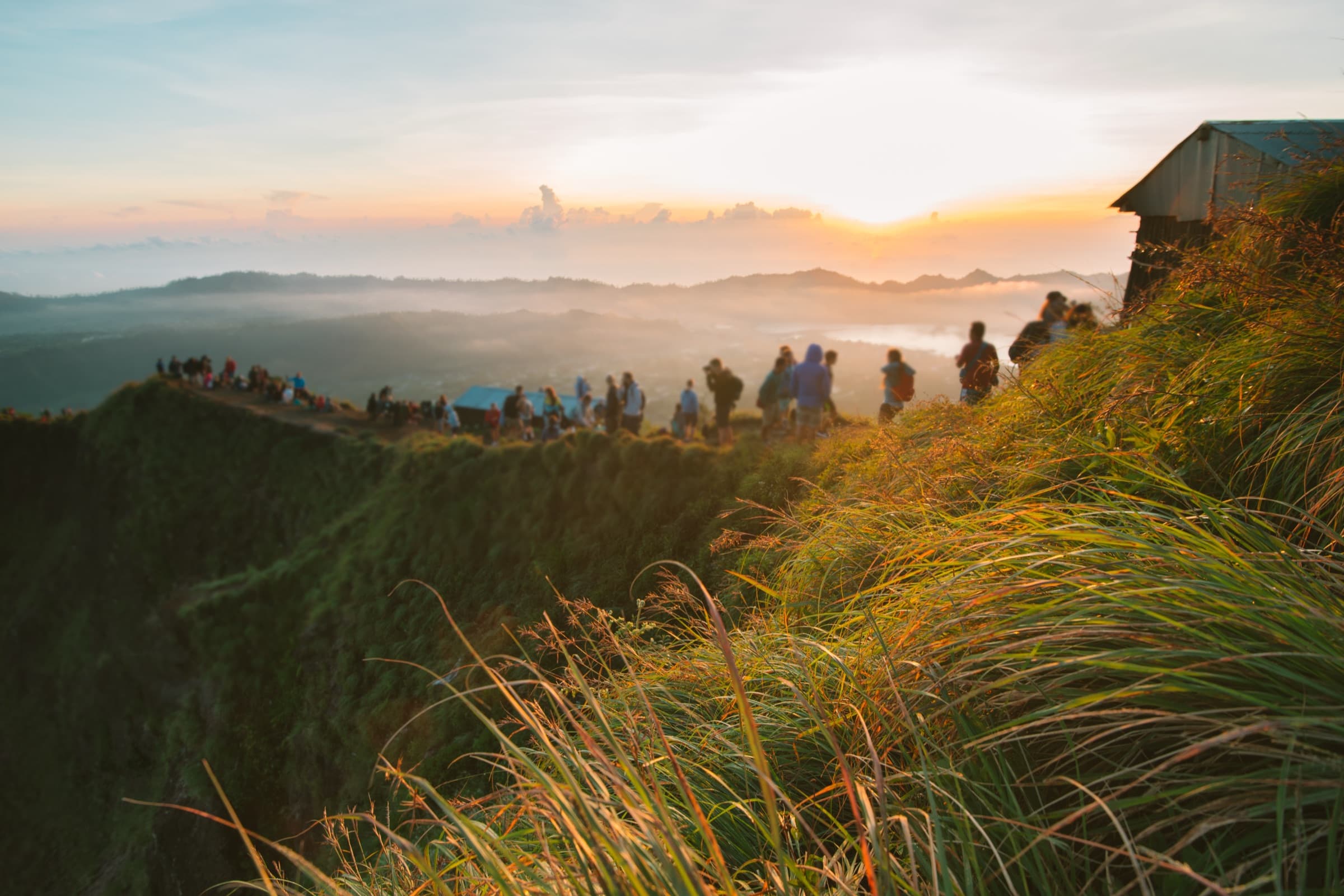
Bali Pass Trek is one of Uttarakhand's toughest high-altitude treks. The trail connects the Har Ki Dun valley with Yamunotri and takes you through forests, alpine meadows, glacial lakes, rocky ridges, and snow-covered mountain passes. Covering nearly 60 km over seven days, this trek is meant for experienced trekkers who are comfortable with long walking hours and high-altitude conditions.
Why You'll Love This Trek
Trail Highlights
- Walk Through Har Ki Dun Valley
- Camp Beside Ruinsara Tal
- Cross the Bali Pass
- Views of Himalayan Peaks
- Finish at Yamunotri
- Changing Landscapes Every Day
What Makes This Trek Special
Bali Pass isn't a trek where the scenery stays the same. Every day brings a different landscape. One day you're walking beside rivers, the next you're crossing open meadows, and soon after you're climbing snow-covered slopes towards the pass. The route also passes Ruinsara Tal and ends near the sacred town of Yamunotri, making it a trek that combines mountain adventure with cultural significance.
Read MoreRead Less
The most exciting journey which takes you deep into the heart of the Himalayas is the Bali Pass. With its breathtaking scenic views of snow-clad peaks and valley-draped richness, it is perfect for seasoned trekkers who are looking to push their boundaries to reach there.
It is situated in the Uttarakhand region, a high-altitude trek distinguished by sheer beauty and challenging terrains. The Bali Pass trek is not for the faint of heart with a height of 16,207 feet, but the views are so spectacular that every step taken will be worth it.
The Himalayas Bali Pass trek spreads over a distance of approximately 60 kilometers and is pretty famous for a variant range of landscapes such as dense forests, any such beauty meadows, and dramatic rocky terrains. The best time to visit the Bali Pass trek will be in May and October. In these months, the climate is relatively comfortable, and the temperature for hiking at Bali Pass trek seems pleasant.
The trekkers have to be endurance and preparation perfect as the difficulty level of the Bali Pass trek is moderate to difficult, so it's not a trek for beginners and is taken only by experienced trekkers.
Route Map
Trailhead Weather
7-day forecastLive conditions at the trailhead. Plan around the forecast — mountain weather shifts fast.
Itinerary 7 Days
Day 1Dehradun to Sankri
Drive from Dehradun to Sankri through Mussoorie, Purola and the beautiful Garhwal hills. Reach Sankri by evening, settle into your stay and prepare for the trek ahead.
Day 2Sankri to Seema
Drive to Taluka and begin trekking towards Seema. Walk beside the Supin River while crossing forests, wooden bridges and small villages before reaching the campsite.
Day 3Seema to Rainbasera
Continue climbing through forests and open valleys. The trail becomes quieter as you move deeper into the mountains before camping at Rainbasera.
Day 4Rainbasera to Ruinsara Tal
Today's trail leads to the beautiful Ruinsara Tal. Spend the evening near the lake while enjoying views of surrounding Himalayan peaks.
Day 5Ruinsara Tal to Odari
A shorter day with a steeper climb. Reach Odari, the final campsite before attempting Bali Pass.
Day 6Odari – Bali Pass – Yamunotri
Start before sunrise and climb to Bali Pass. After spending time at the summit, descend carefully towards Yamunotri through snow-covered slopes and rocky sections.
Day 7Yamunotri to Janki Chatti & Dehradun
Walk down to Janki Chatti and continue your drive back to Dehradun, bringing the trek to an end.
Best Time to Visit
Things to Carry
- Strong trekking shoes with ankle support
- Warm fleece and insulated jacket
- Waterproof jacket and backpack cover
- Thermal wear for cold nights
- Woollen cap, gloves and extra socks
- 50–60 L backpack with rain cover
- Headlamp with spare batteries
- Trekking poles for steep climbs
- Water bottles (2–3 litres capacity)
- Personal medicines and a compact first-aid kit
- Energy bars, dry fruits and chocolates
- Sunscreen, lip balm and sunglasses
- Government ID and permit copies
Permits & Fees
Safety Tips
- Spend enough time acclimatising before gaining altitude.
- Report headaches, dizziness or breathing difficulty immediately.
- Follow the guide's instructions during snow crossings.
- Don't attempt shortcuts on steep sections.
- Stay close to your group in bad weather.
- Keep yourself hydrated and eat regularly.
- Weather can change quickly, so always carry your waterproof layer.
- Avoid trekking alone on this route.
- Keep emergency contacts and essential medicines easily accessible.
- Respect the mountains and leave the trail as clean as you found it.
Reviews
Write a ReviewNo reviews yet. Be the first to share your experience on this trek.